Rifugio Campiglio di Cima
Introduction
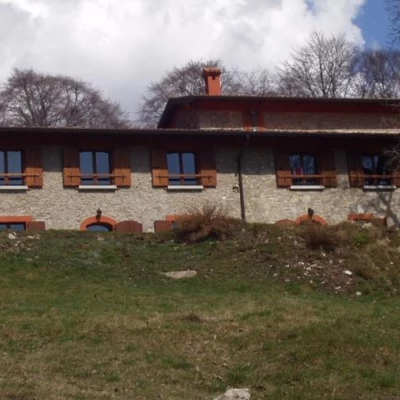
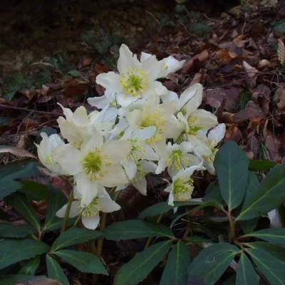
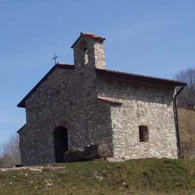
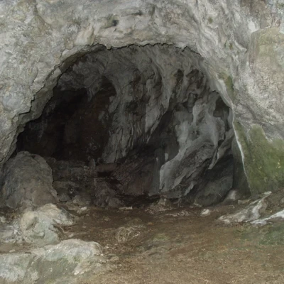
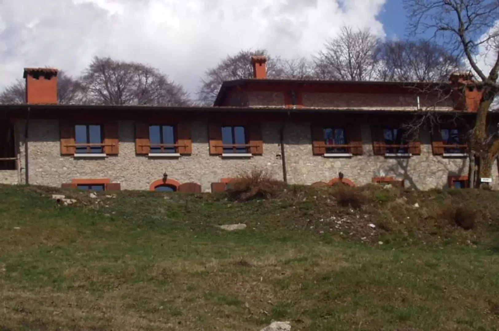
Easy and short excursion in the Alto Garda Bresciano Park. The Campiglio di Cima refuge, in local dialect "Campèi de Sima", opened in the autumn of 2000, is located on a beautiful grassy shoulder between Mount Pracalvis and Mount Zingla. The area derives its name, 'campèi', from fields cultivated in the past with barley, rye and potatoes. A few metres from the refuge is a small church, built in 1602, dedicated to Santa Maria della Neve. About 20 minutes' walk away is the cave "Il Buco del Lupo", in local dialect the "cuen" (the cave) "Èl Büs dèl Luf". Throughout the itinerary, in spring, it is possible to observe the Park's typical flower species, such as: Snowdrops (Galanthus Nivalis L., in local dialect "fiur de nev"), Christmas Roses (Helleborus Niger), Daphne, etc. A little further north is the Vesta Valley, an area that was declared a 'Wilderness Area' in 1998 due to its specificity and beauty.
Description
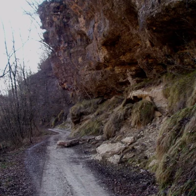
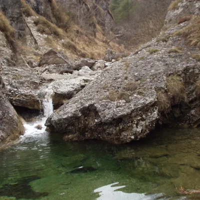
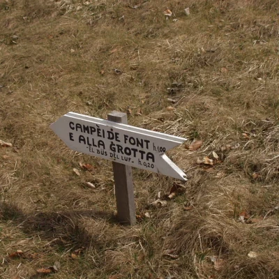
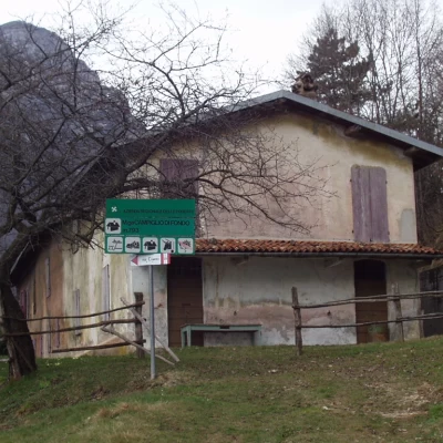
From the widening, take the dirt road to the right, signposted , which, with a moderate gradient, climbs up the Valle di Campiglio. Already after just a few minutes' walk, in spring, it is possible to admire the magnificent flowers of the Park, such as Snowdrops (Galanthus Nivalis L), Christmas Roses (Helleborus Niger), etc., at the edge of the dirt road. One passes under some rock 'roofs' and comes to a metal bridge over the stream. The road proceeds through a sparse forest, skirting the stream which, in this section, forms dozens of small waterfalls. Continuing along the mule track, you cross, on the right, the path for Campiglio di Fondo ("Campèi de Font"), marker [22], which you will follow on the return journey. A few more minutes and you arrive at the Rilo bridge (692 m), where you follow the mule track to the right (marker 7, 3) for the "Campèi de Sima" Refuge, Passo Fobbiola - Cecino. The dirt track, which is cemented in places, now climbs steeply with views of the north-eastern slopes of Monte Spino: behind it are beautiful views of Monte Pizzocolo and, in the distance, of the Monte Baldo chain (which closes Lake Garda to the east). We come to a crossroads (925 m), just before the Fobbiola pass, and take the dirt road to the right that, passing a bar, usually raised, among patches of heather in a sparse wood, leads to the Campiglio di Cima refuge (1017 m). Near the hut is the beautiful little church dedicated to Santa Maria della Neve and a splendid fountain. The return can be made, if not by mountain bike, with a partially circular route. Near the little church, a beautiful path branches off, in the grass but with clearly visible signs (signposts G and 22 for "Campèi de Font" and the "Èl Büs dèl Luf" cave), which soon leads to the Forcella Campei (1040 m). It is now worth taking a diversion of about thirty minutes, return included, to the cave under the northern slopes of Mount Pracalvis. We then take the track to the left and, at the next fork, left again to a beautiful viewpoint over the Vesta valley below. The trail now descends into a small valley and shortly leads to the cave. Retrace your steps to the Campei pass and descend, to the left, on a beautiful path along the grassy southern slopes of the Pracalvis mountain, amidst wonderful patches of heather. You reach the Campiglio di Fondo hut (793 m) and, along a wide dirt track, turn left to reach the road at the bottom of the valley, which you followed on the outward journey.
